 Illustration
The Big Ones: The North Country's Biggest Winter Storms of the Last 25 Years
Ten feet on the Tug Hill, a blizzard that shredded snowflakes and an ice storm that turned the lights off for weeks. We counted down the storms Jefferson, Lewis and St. Lawrence counties will never forget.
A hundred twenty-seven inches. That's more than ten feet of snow, and the National Weather Service recorded it in Montague, up on the Tug Hill, in six days during Christmas week of 2001.
It's the deepest total any storm has left in Jefferson, Lewis or St. Lawrence counties in the last 25 years. And it isn't number one on our list.
We went back through a quarter century of North Country winters, from lake-effect bands that parked over one town for days to an ice storm that turned the lights off for weeks. Here are the Big Ones, counted down from seven to one, then the ice and the wind, and finally the 1998 storm that every winter since gets measured against.
How we ranked them
This is ClickNNY's list, not an official one. We weighed three things: the peak total inside our three counties, how many people the storm hit, and how bad the damage and disruption were. That's why a storm that buried Watertown, Fort Drum and the villages between them can outrank one that dropped more snow on a few Tug Hill farms.
Totals come from the National Weather Service office in Buffalo wherever it published them. Where an early report and the final count disagree, we say so.
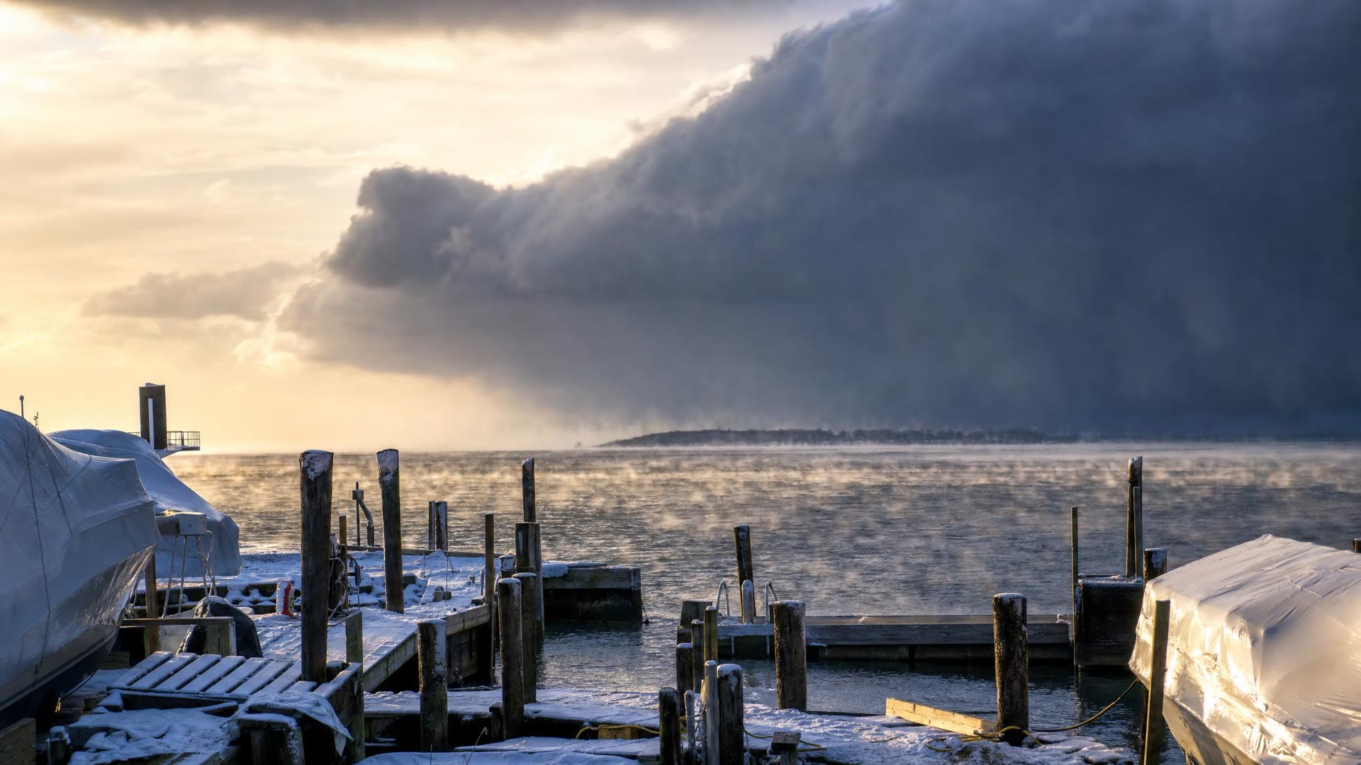
IllustrationNo. 7: Leap Day, 2020
The winter of 2019-20 had been quiet. Then, from Feb. 27 to March 1, a band only 10 to 15 miles wide sat nearly still over the region for more than a day and a half.
Carthage ended up with 48 inches, the top total off Lake Ontario, and the Weather Service didn't hold back: "this one was a blockbuster." It also called the event a lake-effect blizzard, with gusts of 50 to 60 mph.
 Illustration
No. 6: The relentless winter of 2025
Number six wasn't one storm. It was a whole season that wouldn't let up.
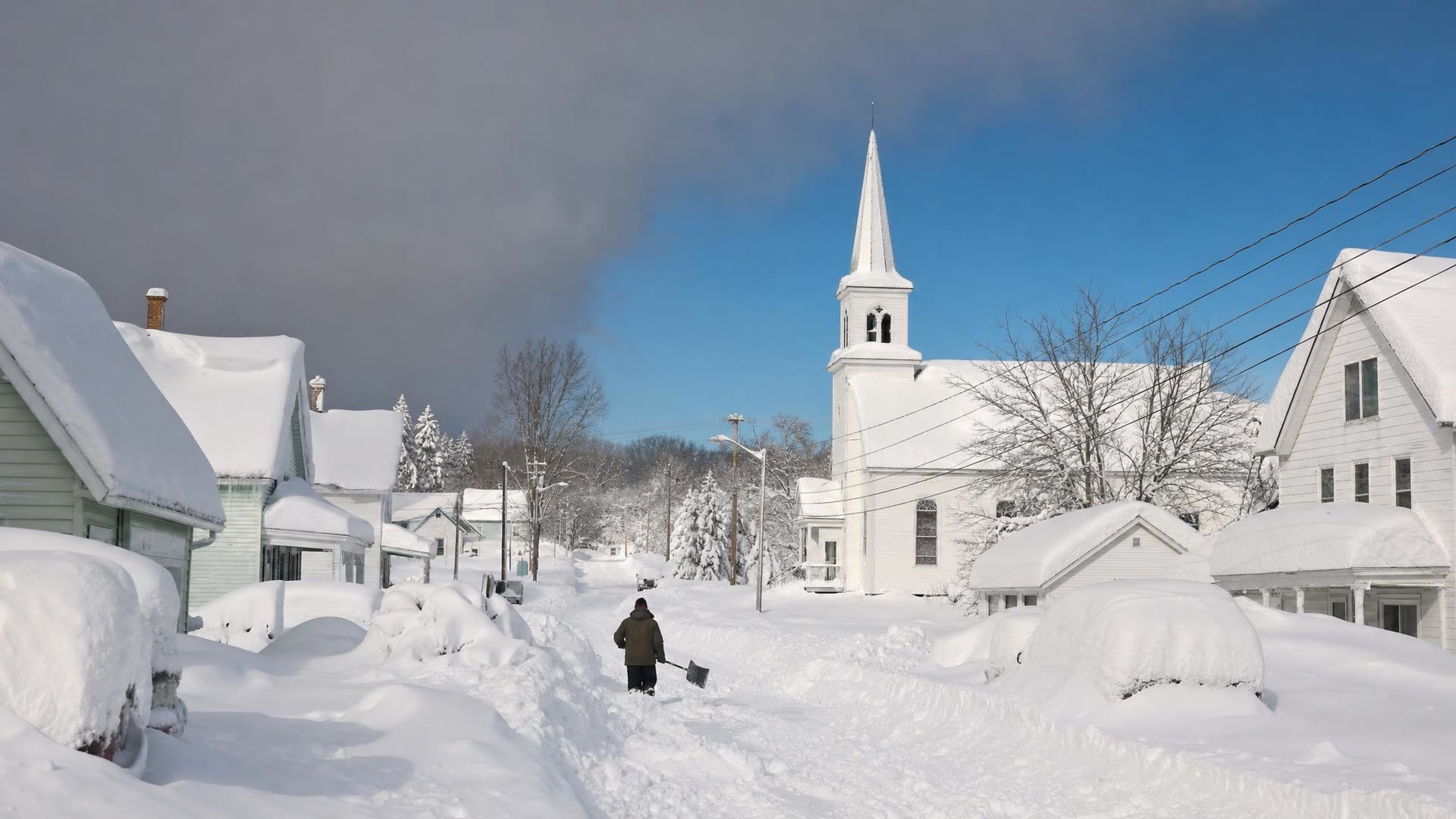
From Jan. 1 to 5, the Weather Service measured up to five feet across eastern Oswego and southern Lewis counties, with thundersnow in the band. Another storm on Jan. 20 to 22 put up to three and a half feet on southern Jefferson and western Lewis. Then, from Feb. 9 to 19, nearly six more feet fell across Oswego and southern Lewis.
The snow got heavy, and roofs gave way. The Weather Service counted more than 50 structure collapses in Oswego and Lewis counties, most of them in Oswego. By spring, the town of Worth in southern Jefferson County had piled up 341.5 inches for the season, the most anywhere off Lake Ontario.
 Illustration
No. 5: The ten-day storm, February 2007
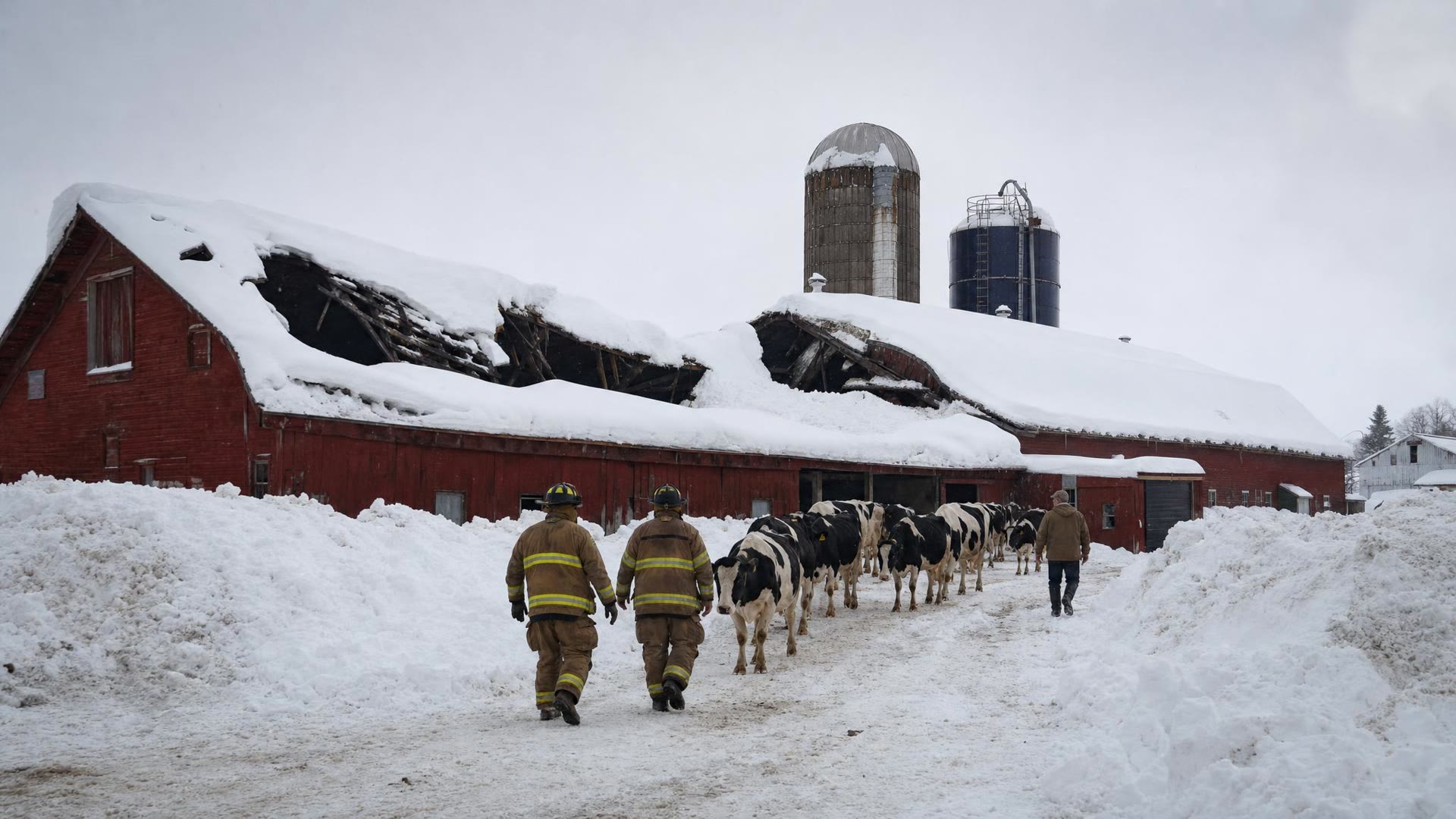
From Feb. 3 to 12, 2007, lake-effect snow came off Lake Ontario for ten straight days. The Buffalo Weather Service called it its longest event ever.
The famous 141 inches fell in Redfield, which is just over the line in Oswego County. On our side, North Osceola in Lewis County measured 106 inches, and the governor declared Oswego and Lewis counties disaster areas.
 Illustration
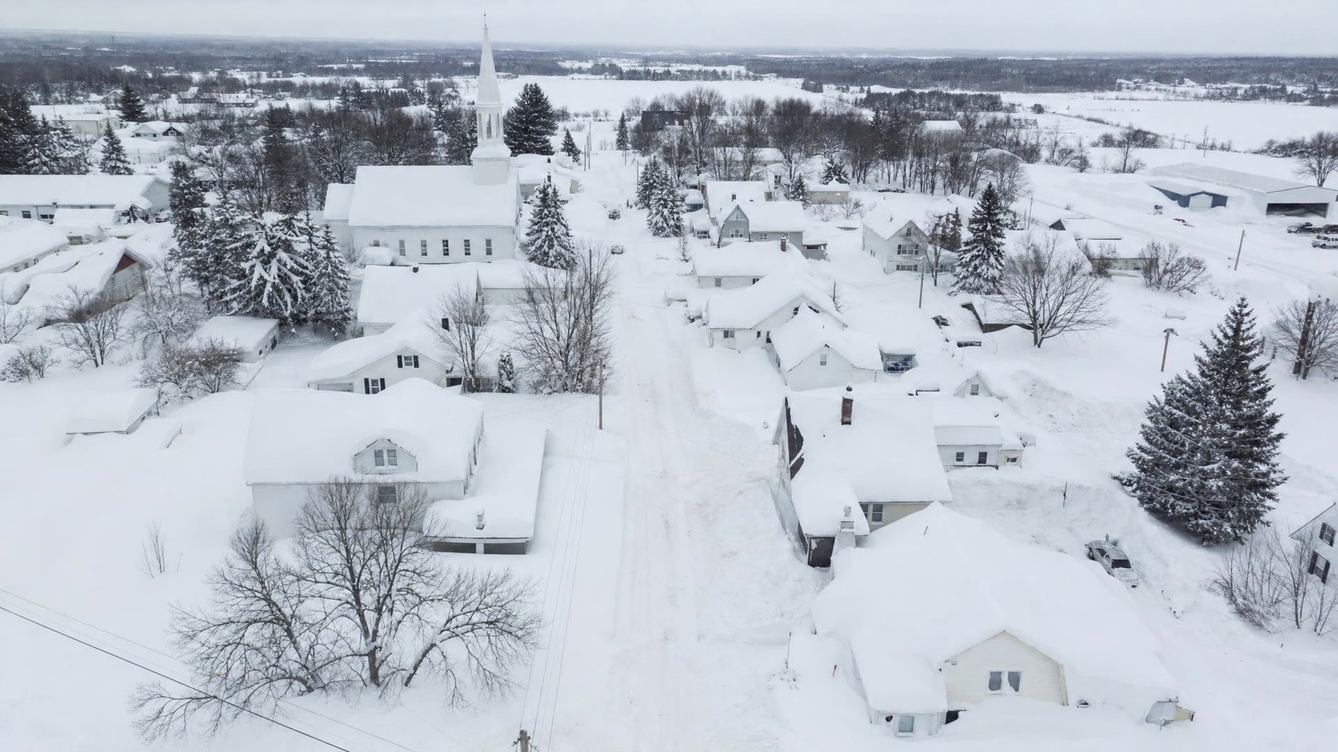
No. 4: Thanksgiving weekend, 2024
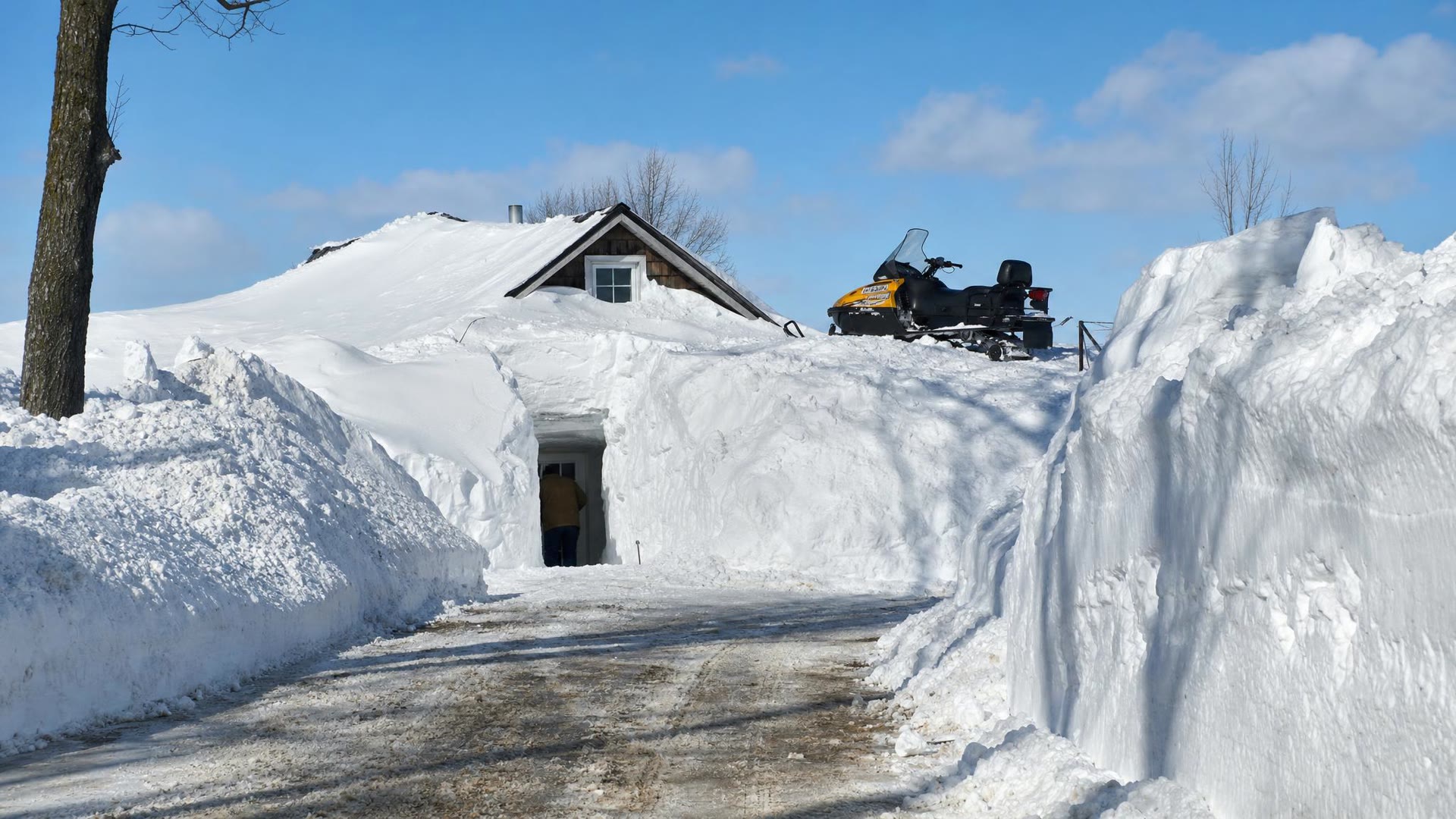
Most people were still working on leftovers when the band set up. From Nov. 28 to Dec. 2, 2024, the Weather Service says nearly five and a half feet fell in Copenhagen and Worth. The official top totals were 65.9 inches southwest of Copenhagen, 65.5 near Barnes Corners and 63 at Fort Drum.
Gov. Kathy Hochul declared a state of emergency that covered Jefferson, Lewis and St. Lawrence counties, and tow crews were staged along Interstate 81.
 Illustration
No. 3: The Christmas blizzard, 2022
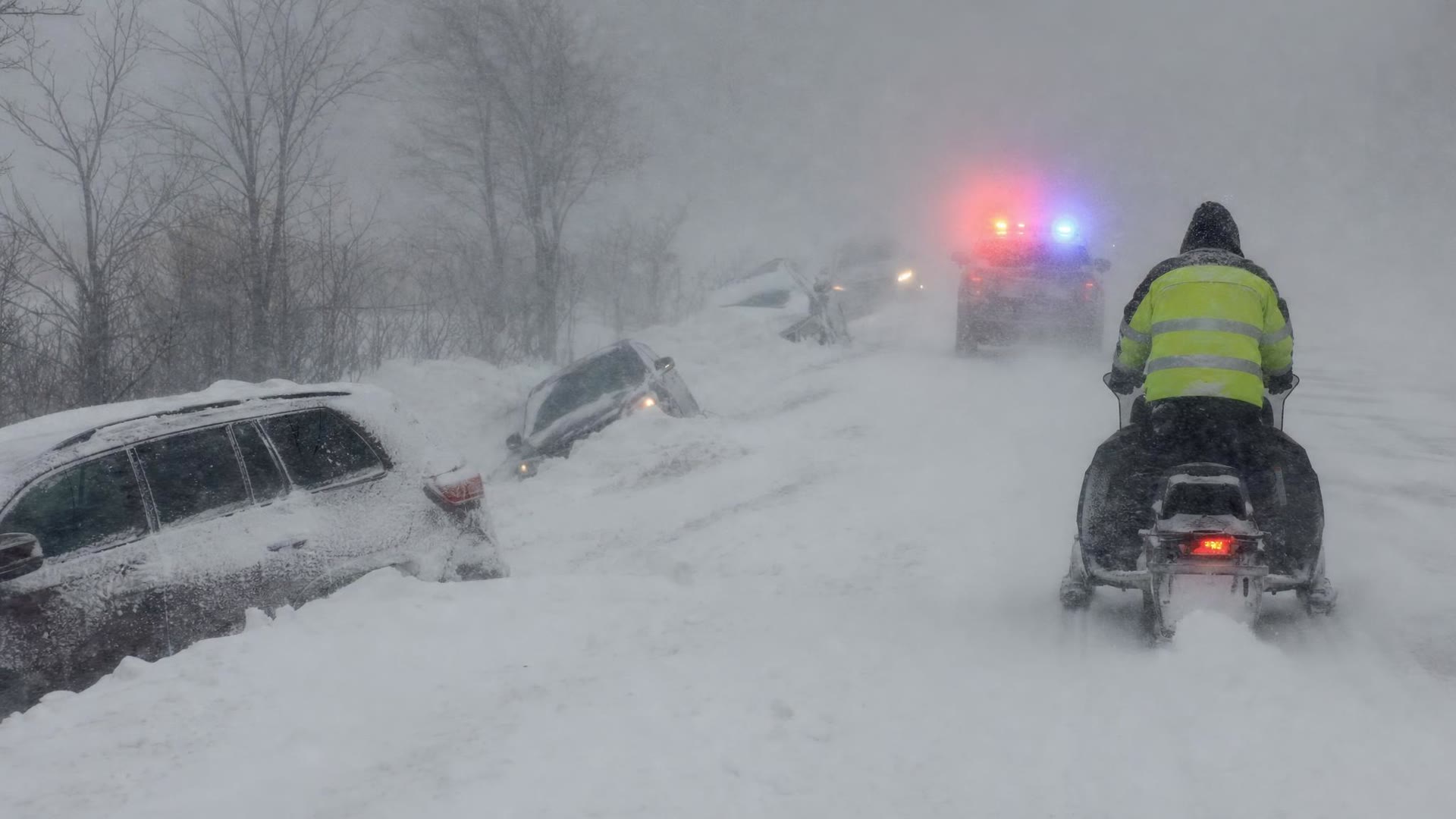
This one was a true blizzard. Starting at 1:44 p.m. on Dec. 23, blizzard conditions held at Watertown's airport for 24 and a half straight hours. The wind was so strong that, in the Weather Service's words, "snowflakes were shredded into fragments as they fell."
When it was over, Watertown had 47.2 inches and Deferiet had 50.8, the top total off the lake. The band reached unusually far north, hitting Clayton and Alexandria Bay hard and knocking out power to all of Wellesley Island.
On the Saturday morning the sheriff counted 75 to 100 vehicles stuck or abandoned, some with people still inside. Deputies and troopers reached them by snowmobile, ATV and tracked vehicle, and took them to warming shelters at fire stations in Adams, Henderson, Chaumont, Cape Vincent, Sackets Harbor and other towns. No storm deaths were reported.
 Illustration
“Snowflakes were shredded into fragments as they fell. (National Weather Service, on the Christmas 2022 blizzard)”
No. 2: Christmas week, 2001
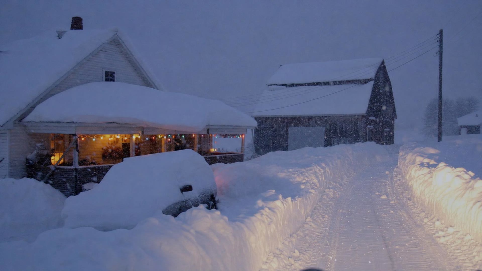
If you only count inches, this is the champion. The Weather Service recorded 127 inches in Montague, on the Tug Hill in Lewis County, in six days. Highmarket had 104. Off the hill, Carthage got 54 inches, Lowville 48 and Watertown 30.
Buffalo forecasters called it the "most persistent southwest flow lake effect event ever seen in these parts," with thunder, lightning and snow falling two to four inches an hour. Most of Jefferson County got about half of that entire winter's snow in that one week.
 Illustration
No. 1: The November storm, 2022
So why isn't 127 inches number one? Because this one hit right where most of us live.
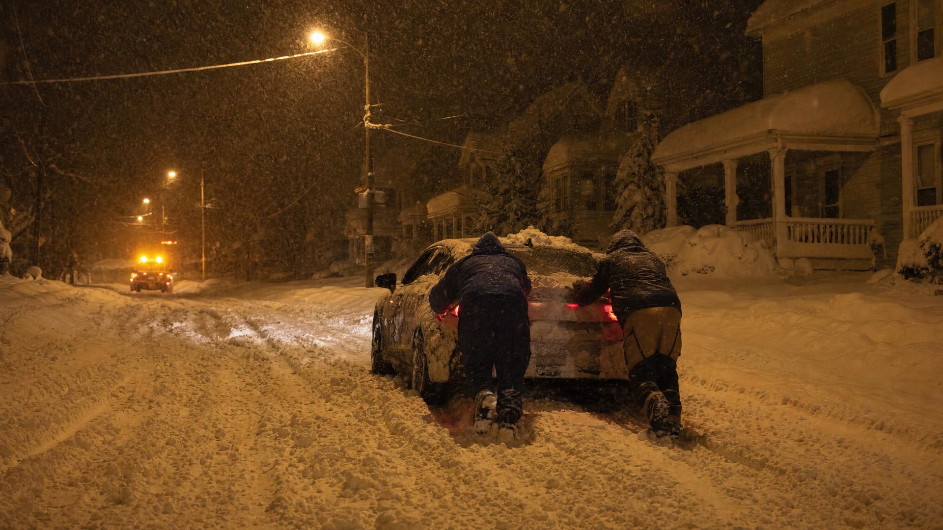
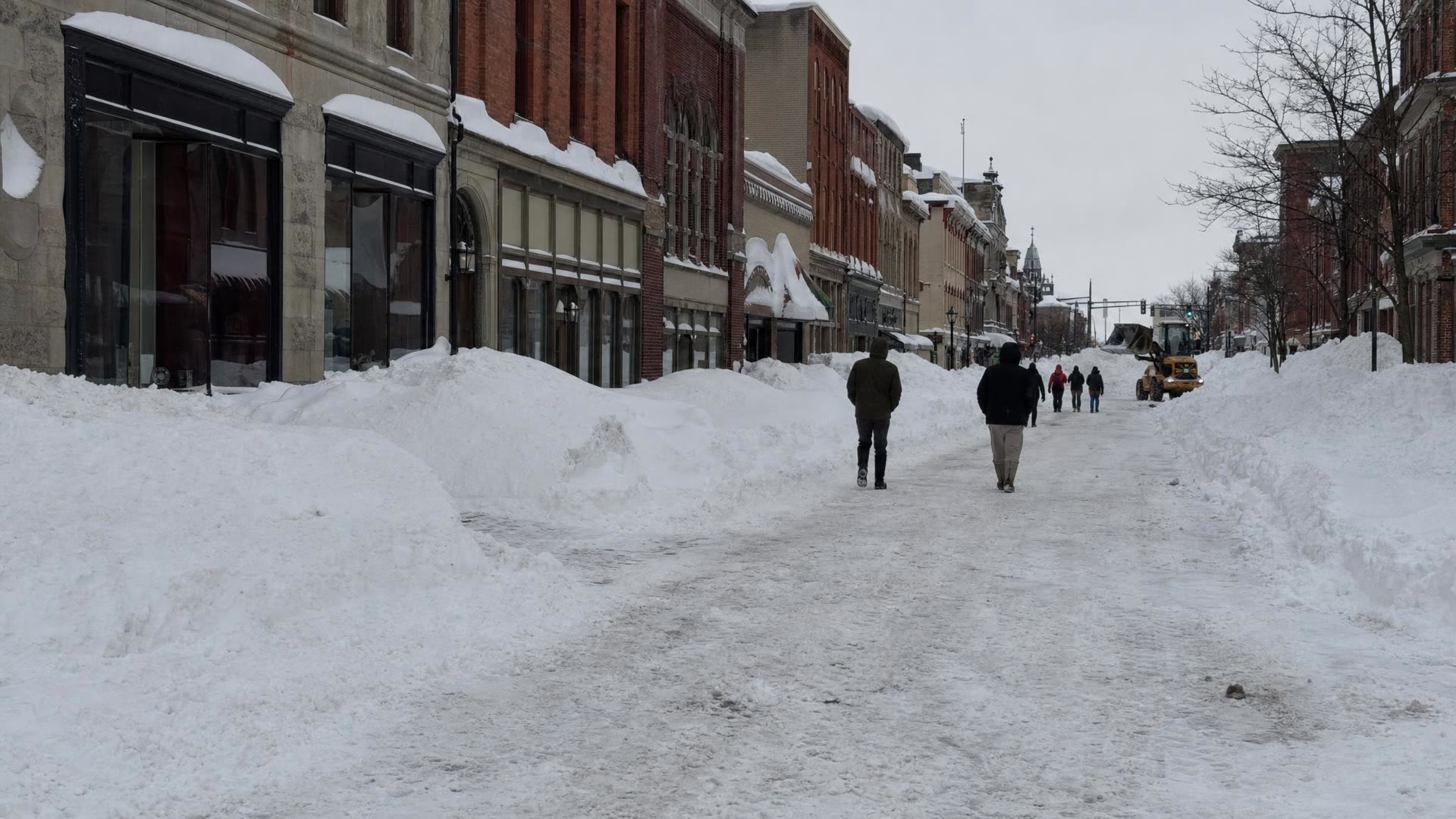
From Nov. 17 to 20, 2022, a band about 25 miles wide set up over central Jefferson County. Snow fell four to six inches an hour, with rumbles of thunder. Fort Drum measured 54 inches and closed the post. Observers reported about six feet near Natural Bridge, though that early count didn't make the Weather Service's final summary, which lists 49 inches at West Carthage as the top total off the lake.
Watertown had 57.4 inches in an early Weather Service count, then 61 by Sunday morning, and the mayor said more than 65. The snow was wet and heavy, and city plows struggled to push it. The Weather Service gave the storm its top "five flake" rating.
 Illustration
“I don't recall where we got this much snow in such a quick period of time. (Eric Wagenaar, Fort Drum deputy garrison commander, November 2022)”
 Illustration
Then came the ice. And the wind.
Snow isn't the only way a North Country winter wins.
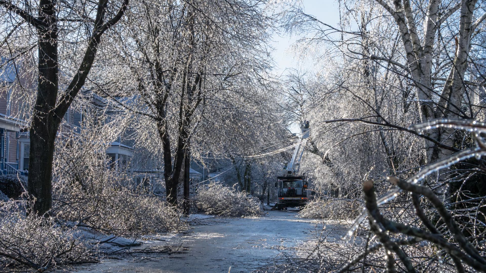
Just before Christmas in 2013, from Dec. 21 to 23, freezing rain coated parts of St. Lawrence County in more than an inch of ice. About 60 percent of Jefferson County's customers lost power, and National Grid brought in roughly 1,600 workers to put the lines back up.
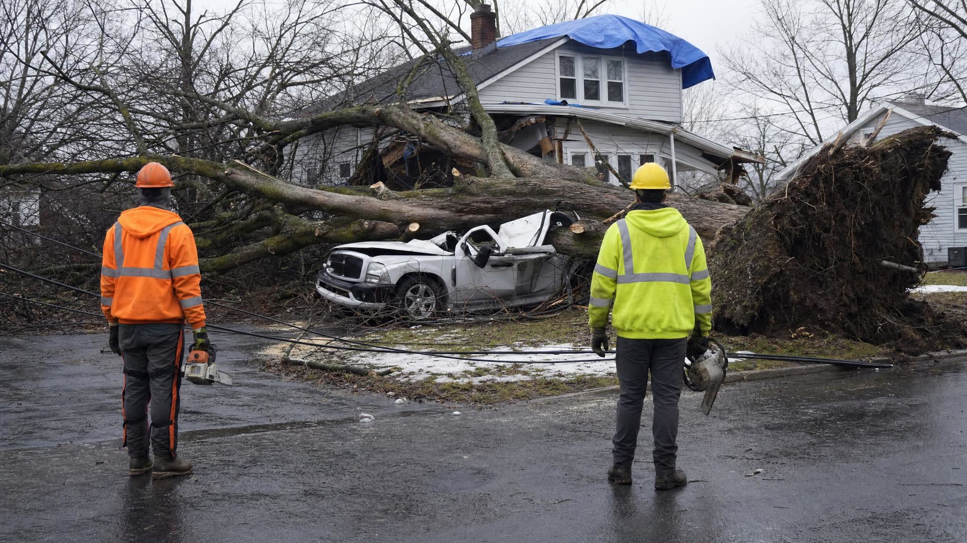
On the evening of Jan. 9, 2024, it was the wind. A 78 mph gust hit Watertown International Airport, which is hurricane force. Trees came down on houses and cars on Holcomb, Franklin and Mullin streets, Jefferson County declared a state of emergency, and 76,100 National Grid customers across northern New York lost power.
 Illustration
 Illustration
The one every storm is measured against
Then there's January 1998.
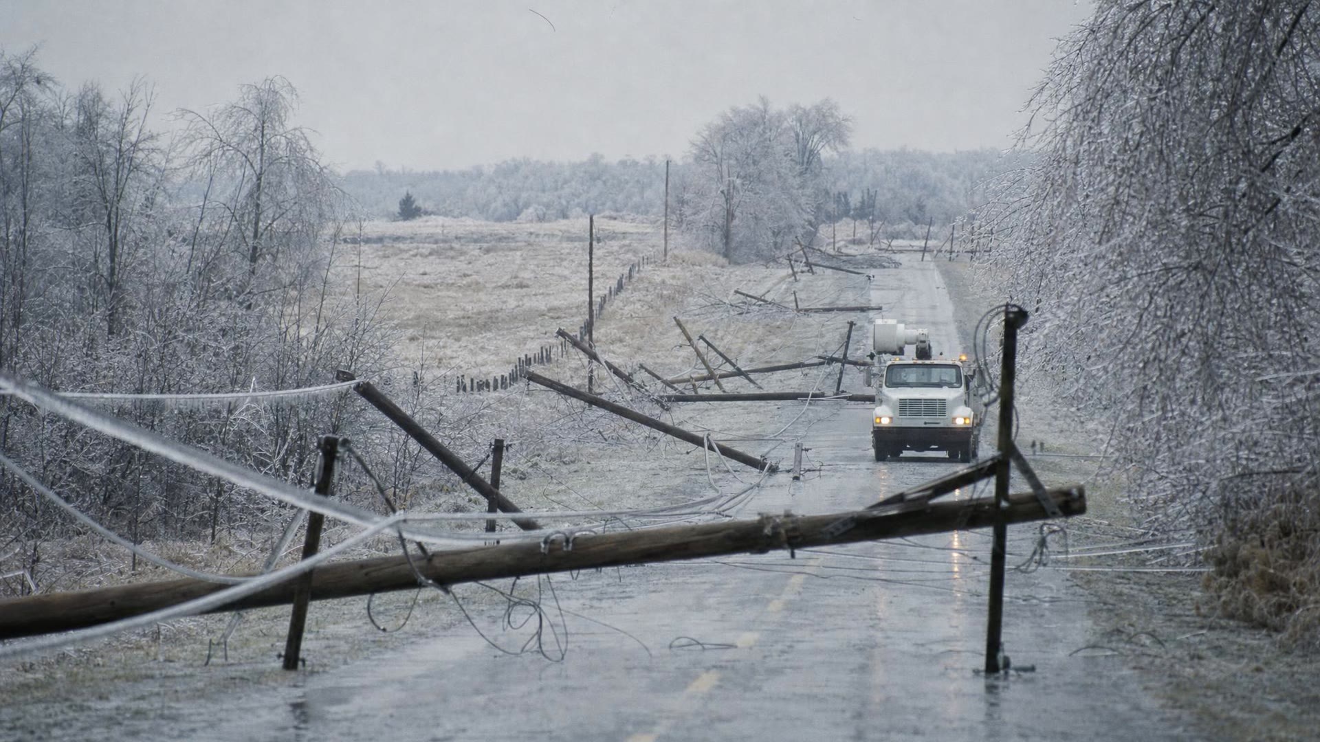
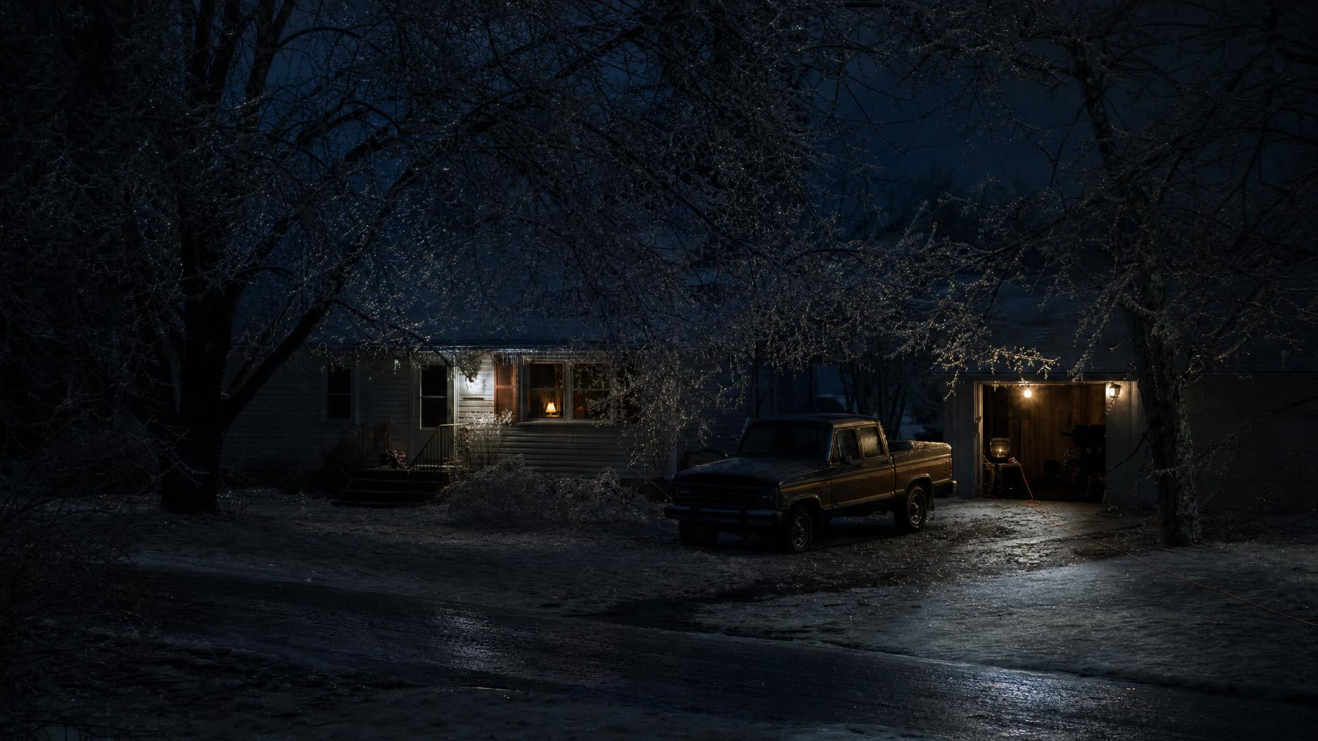
From Jan. 5 to 10, freezing rain fell on the North Country for days. The St. Lawrence Valley collected two to four inches of ice, enough to snap utility poles in long chains and topple steel transmission towers. Trees cracked, one NCPR report said, with a sound like gunfire.
Niagara Mohawk reported 130,000 customers without power on Jan. 10, and that day it warned that restoring service was "now a matter of weeks." It was. The last 100 Jefferson County customers waited a full three weeks. Some 1,400 of the region's 1,800 farms took losses, and 1,200 cows died.
Thousands of National Guard members and 10th Mountain Division soldiers delivered generators and went door to door with food and water. Rep. John McHugh told Congress their round-the-clock work "meant the difference between life and death."
 Illustration
 Illustration
Which one did you dig out of?
Every one of these numbers has a story behind it: a plow driver who didn't sleep, a neighbor with a snowblower, a family that waited out the ice by the woodstove. Tell us yours, and send us your photos. We'll share the best of them right here.
And when the next big one lines up off the lake, follow the ClickNNY Closings and Delays list and the National Weather Service Buffalo forecast for the North Country.
Which big one do you remember most?
0 votes · tap to vote
Share your storm photos
Got a photo from one of these storms, or any big North Country winter? Send it with the town and the year. Please only send photos you took yourself.
Questions readers ask
- What is the biggest snowstorm in North Country history?
- By total, the Christmas week storm of 2001 is the biggest of the last 25 years in our three counties: the National Weather Service recorded 127 inches in Montague, on the Tug Hill in Lewis County, in six days. ClickNNY ranks the November 2022 storm first overall because it buried Watertown and Fort Drum, where far more people live.
- How much snow did Watertown get in November 2022?
- An early National Weather Service count had 57.4 inches, a Sunday morning count had 61, and the mayor said more than 65. Fort Drum measured 54 inches.
- How long were people without power after the 1998 ice storm?
- Niagara Mohawk reported 130,000 customers out on Jan. 10, 1998. The last 100 Jefferson County customers waited a full three weeks for power to come back.
- Why does the Tug Hill get so much snow?
- Cold air crossing the open water of Lake Ontario picks up moisture and dumps it as narrow lake-effect bands. The Tug Hill rises right in the path of winds off the lake, which squeezes even more snow out of those bands, and a band that stalls can drop several inches an hour for days.
- Where can I find school closings and delays in the North Country?
- ClickNNY keeps a live Closings and Delays list for Jefferson, Lewis and St. Lawrence counties all winter.
More from ClickNNY

ClickNNY Guide · Holidays 2026
Lights, Parades and Santa by Fire Boat: Your 2026 North Country Holiday Guide

ClickNNY Guide · Fort Drum
Next Move NY: Watertown guide to jobs and training for veterans
ClickNNY Special Report · Hidden NNY
Area 51 Was Once Called "Watertown." Inside the North Country's UFO Files
Tell us what we missed
Know something North Country readers should hear about this? Send the ClickNNY desk a local tip, a correction or a photo.
Editor’s note: Totals in this story come from the National Weather Service office in Buffalo unless another source is named; where early reports and final counts differ, we say so. The ranking is ClickNNY's, weighing peak totals in Jefferson, Lewis and St. Lawrence counties, the number of people affected and the impact. The pictures in this story and its video are illustrations made for it and do not show the actual storms.