 Illustration
The North Country's Most Underrated Hiking Trails
Skip the High Peaks. These local trails deliver deep gorges, waterfalls, river walks, quiet forests and surprisingly big views much closer to home.
You don't have to drive deep into the Adirondacks to find a trail worth hiking.
Some of Northern New York's most interesting walks are much closer to home: a trail along the rim of a 200- to 300-plus-foot-deep gulf, a short accessible route to a dramatic canyon view, river trails where waterfalls keep appearing, old forest roads, and places where the woods get quiet enough to make you forget how close you still are to home.
So this ClickNNY Explore guide is skipping the famous High Peaks and looking closer.
A trail finder, not a single drive — each numbered pin is its own trail. Pins 1–5 and 8 sit at verified official or mapped trailheads; pins 6, 7, 9 and 10 are approximate, because those state forests and the WMA have several primitive access points rather than one trailhead. Open the official DEC/park map and use only marked parking.
- 1Oak Rim Trail — Inman Gulf, Barnes CornersRim trail above a 200–300+ ft canyon in Tug Hill State Forest, across from ~100-ft Rainbow Falls. Trailhead coords per DEC.Directions →
- 2John Link Trail — Williams Rd, Inman GulfAccessible 0.3-mile one-way route to a canyon viewing area; gentle grade, firm compacted stone. Accessible trailhead coords per DEC.Directions →
- 3Whitaker Park — Martinsburg345-acre town park along Roaring Brook: waterfalls, limestone, Black River Valley views. 5836 Whitaker Rd, Lowville.Directions →
- 4Whetstone Gulf State Park — LowvilleA three-mile gorge cut into the Tug Hill Plateau, with a trail that circles the rim.Directions →
- 5Black River Riverwalk — WatertownEasy riverfront walking close to home — Veterans Memorial Riverwalk, parking off Newell Street.Directions →
- 6Winona State Forest — Jefferson/Oswego line9,233-acre forest with a large trail network; access from the Mannsville area via County Route 90. Use the official map — pin approximate.Find the area on Maps →
- 7Tooley Pond Road Waterfalls — St. Lawrence CountyA string of waterfall stops along Tooley Pond Rd and the South Branch of the Grasse River. Corridor — pin approximate.Find the area on Maps →
- 8Stone Valley Trail — ColtonFollows the Raquette River past a mile-plus of waterfalls; popular southeast trailhead at the end of Riverside Dr, past the firehouse.Directions →
- 9Tug Hill WMA — MontaguePrimitive public land: unpaved roads, wetlands, trail features. Active hunting land — check seasons. Pin approximate.Find the area on Maps →
- 10Lesser Wilderness State Forest — Lewis CountyQuiet Tug Hill backcountry near Whetstone Gulf; download the DEC georeferenced map before you go. Pin approximate.Find the area on Maps →
1. Oak Rim Trail — Inman Gulf, Barnes Corners
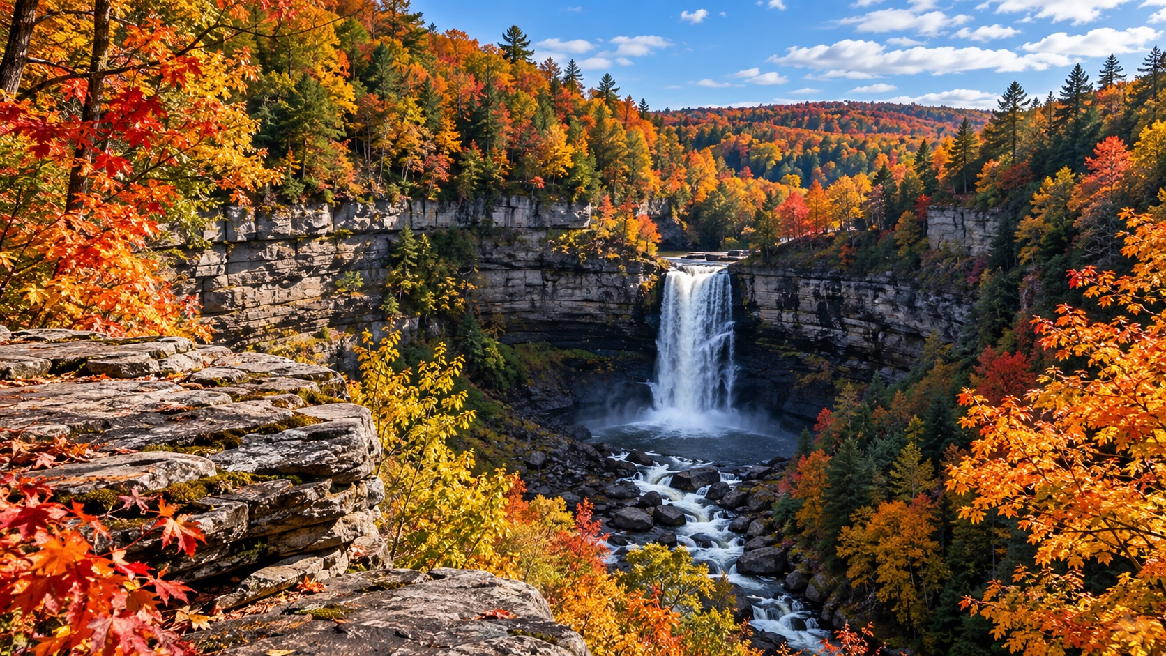
The one that makes you ask, this is here? Tug Hill State Forest covers more than 12,000 acres, but Inman Gulf is the landscape that surprises people.
NYS DEC describes the gulf as a canyon roughly 200 to more than 300 feet deep. Oak Rim, John Young's Trail and Inman Glide follow the upper gulf, and across the canyon, Rainbow Falls drops about 100 feet. Oak Rim is the trail for readers who want the full experience rather than a quick overlook.
The quick guide: Oak Rim runs about 2.2 miles (use the current DEC map for connections). Intermediate. Best for canyon views, Rainbow Falls and fall color. Better for trail-experienced older kids with close supervision around gulf terrain. Free. Trailhead coordinates are from DEC.
 Illustration
2. John Link Trail — Inman Gulf
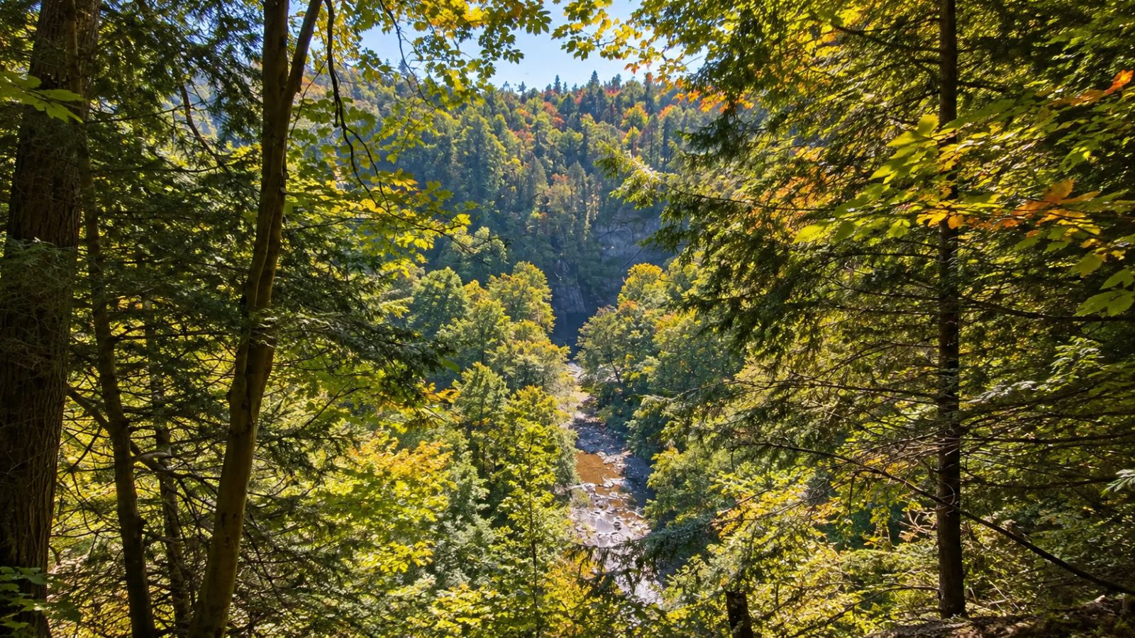
The big view without the big hike. DEC describes the John Link Trail as an accessible 0.3-mile one-way trail from the Williams Road trailhead to a viewing area overlooking the Gulf Stream canyon, with a gentle grade and a firm compacted-stone surface.
The quick guide: 0.3 mile one way. Easy / accessible route. Best for families, grandparents and an easier canyon experience — excellent for kids with normal supervision at the viewing area. The Williams Road accessible trailhead coordinates are from DEC.
 Illustration
3. Whitaker Park — Martinsburg
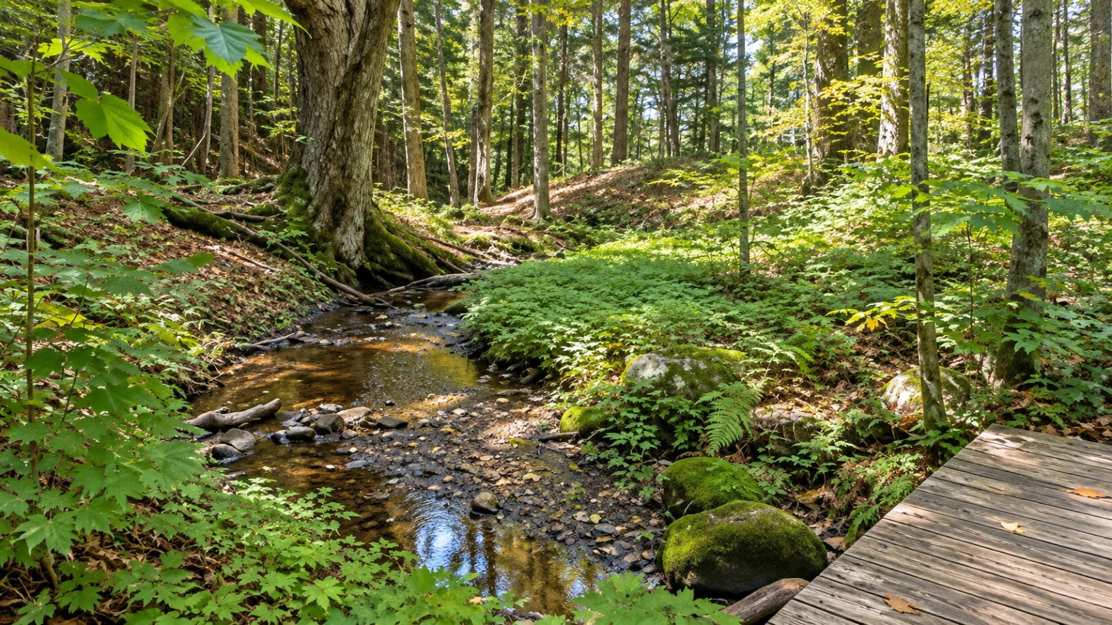
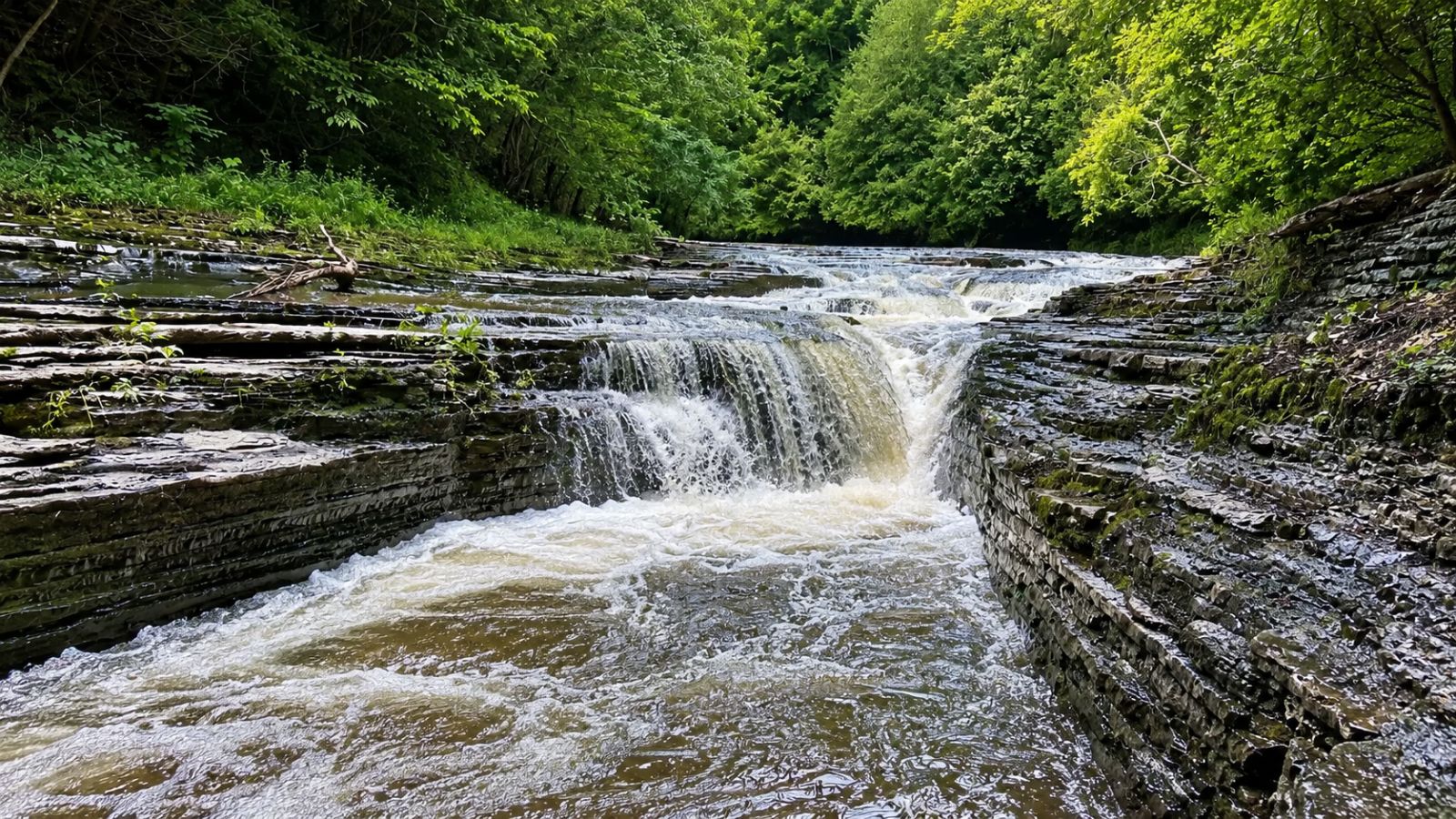
Lewis County's hidden park. The Town of Martinsburg describes a 345-acre park with wooded terrain along Roaring Brook, waterfalls, limestone formations and views toward the Black River Valley and Adirondack foothills.
The quick guide: Martinsburg / Lowville. Easy to moderate depending on route. Best for waterfalls, woods and family exploration — very good with supervision near the gorge and water. Address: 5836 Whitaker Road, Lowville, NY 13367. Verify current park access before leaving.
 Illustration
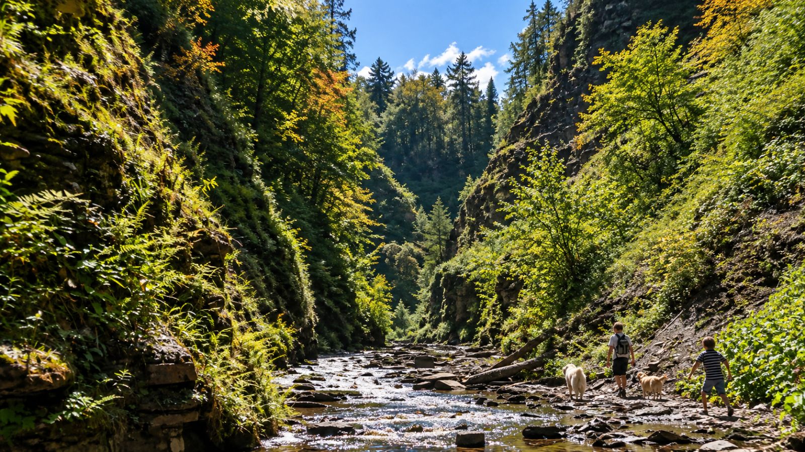
4. Whetstone Gulf State Park — Lowville
The North Country's canyon hike. NYS Parks describes a three-mile-long gorge cut into the eastern edge of the Tug Hill Plateau, with hiking trails including a route that circles the gorge.
Choose your adventure: use the current park map for a shorter scenic option, take the official gorge-circling route for the full gulf hike, or make a half-day of it with a picnic, hiking and overlooks.
The quick guide: difficulty varies by route. Best for gorge scenery and a substantial fall outing — a hiking-family trip with close supervision around gorge terrain. Address: 6065 West Rd., Lowville, NY 13367. State Parks currently lists a $7 day-use vehicle fee during applicable collection periods, and a 2026 camping season of May 16–Oct. 12; verify fees and day-use/hiking availability before you go.
 Illustration
5. Black River Riverwalk — Watertown
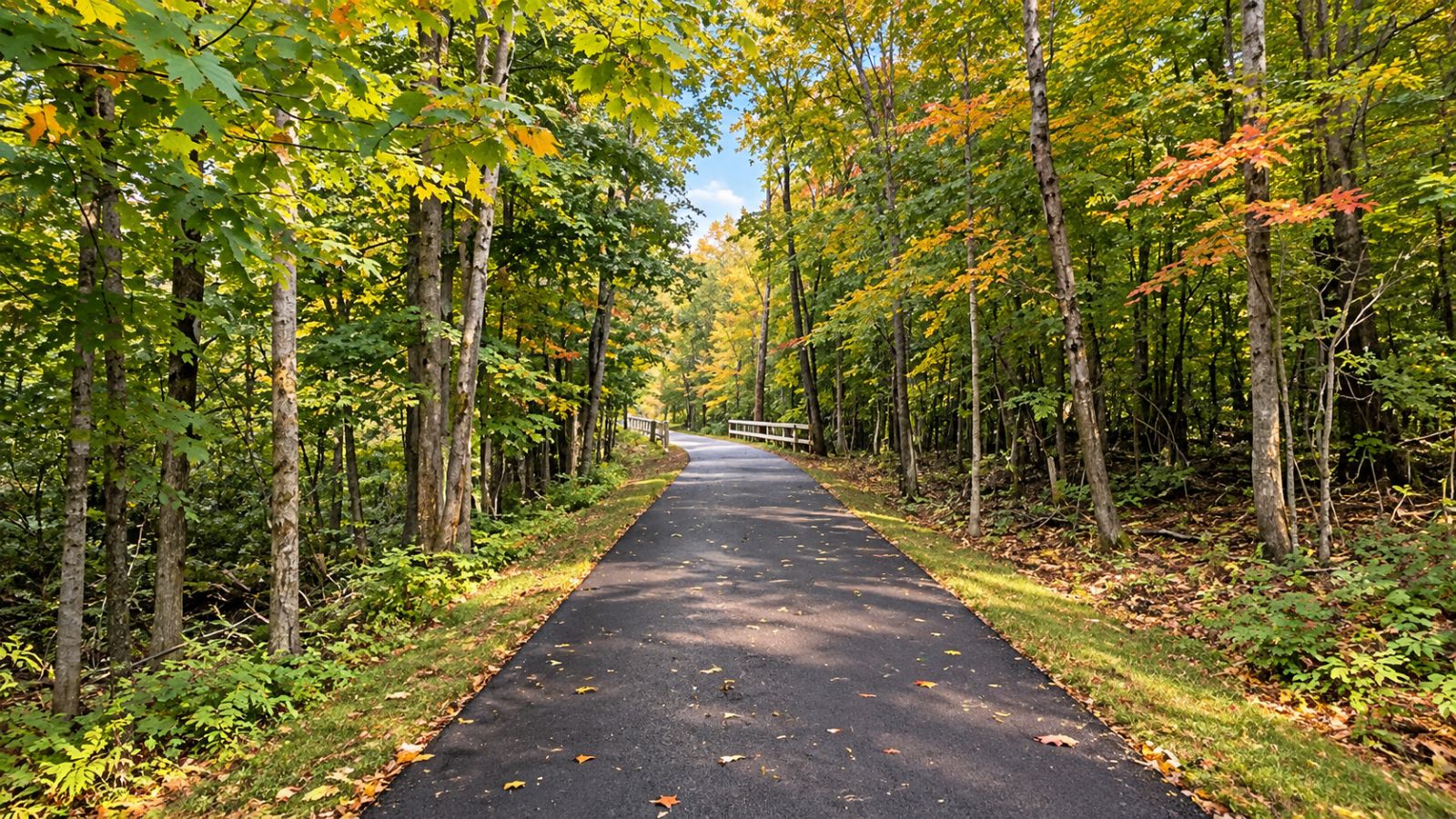
The trail hiding in plain sight. Watertown Parks and Recreation maintains several walks along the Black River. The city specifically lists the Veterans Memorial Walkway/Riverwalk along the river by Newell Street, along with Waterworks Park and other riverfront recreation.
The quick guide: Watertown. Easy, and excellent for families. Choose your own outing rather than a fixed distance — don't publish total mileage unless it's verified against the current city/Tug Hill map. Parking is at either end along Newell Street, with more at the J.B. Wise lot.
 Illustration
6. Winona State Forest — Jefferson/Oswego line
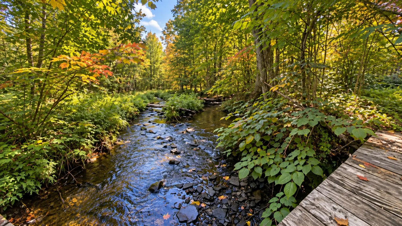
The one that feels much farther away. DEC's management plan describes a 9,233-acre forest on the Jefferson–Oswego county line with hiking, skiing, mountain biking and other recreation. Its mapped network includes forest roads and numerous named routes; the official forest map shows parking and trail connections.
The quick guide: a large trail network with a deep-woods Tug Hill atmosphere. Difficulty and kid-friendliness are route-dependent. Access from the Mannsville area via County Route 90 toward Dixon/Brown Road, per DEC. Don't head in on a made-up best loop — pick a route only after checking it against the current official map, and use only marked parking. Our map pin marks the general area.
 Illustration
7. Tooley Pond Road Waterfalls — St. Lawrence County
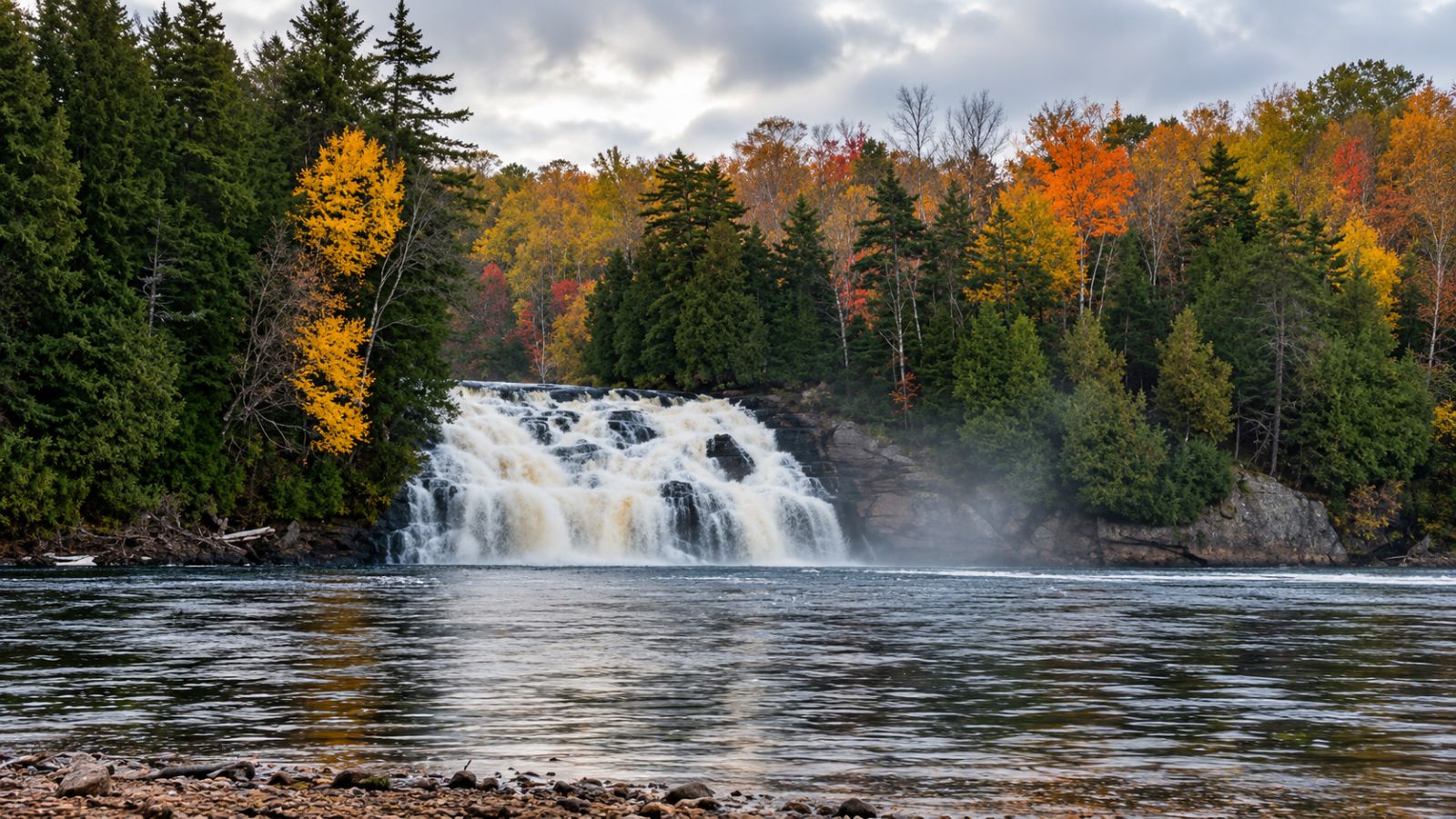
Build your own waterfall hiking day. St. Lawrence County's waterfall guide documents a string of waterfall stops along Tooley Pond Road and the South Branch of the Grasse River. Take a short walk or string several stops together.
The quick guide: difficulty varies by waterfall and trail, so it suits waterfall hunting and flexible outings — kid-friendliness depends on the stop you pick. Navigate with the county waterfall guide and current trail map; individual falls should become separate map pins only once trailheads and parking are verified. Our pin marks the corridor.
 Illustration
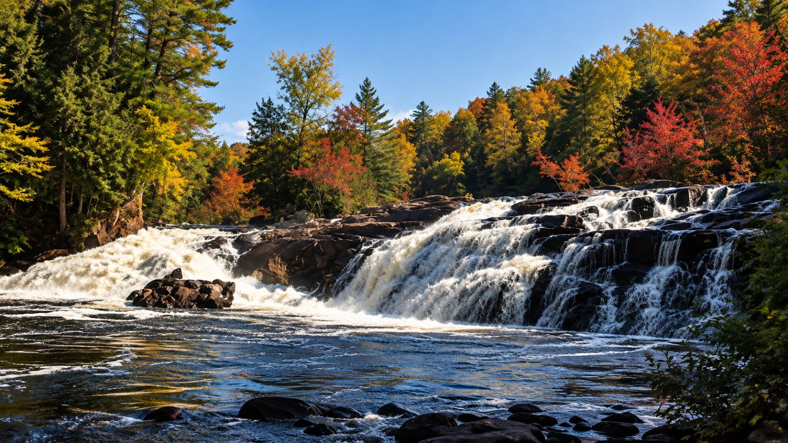
8. Stone Valley Trail — Colton
When the river is the destination. St. Lawrence County describes the trail following the Raquette River through Colton, with a series of waterfalls continuing for a mile or more. The county's Colton guide describes trailheads on both sides of the river off Main Street and notes that the waterfall scenery begins very close to parking.
The quick guide: Colton — river, rapids, waterfalls and geology. Moderate overall; choose your distance to suit the group, and it's a good hiking-family option with close river supervision. County material describes routes from a couple of miles up to just over three miles per side — display the exact current mapped route you choose rather than combining descriptions. The popular southeast trailhead is at the end of Riverside Drive, just past the firehouse.
 Illustration
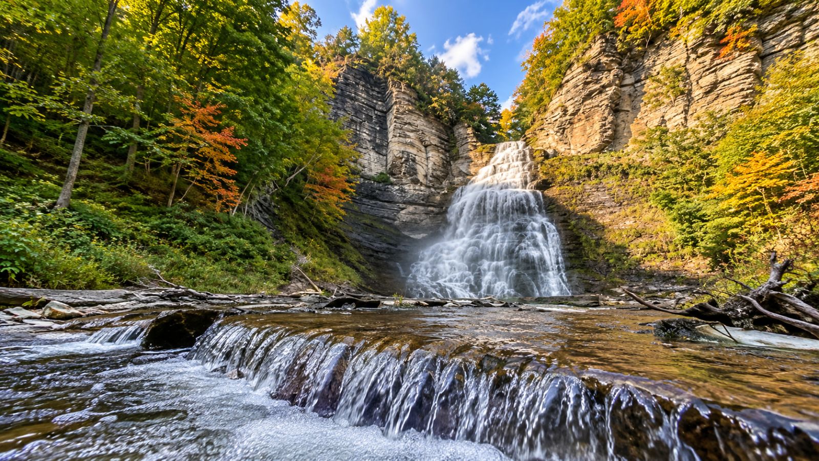
9. Tug Hill WMA — Montague
For people who don't need a manicured trail. DEC's current WMA map shows parking, unpaved WMA roads, wetlands and trail features around roads including Flat Rock, Poor, Running George and Beech Street. Treat this as a public-land exploration for people comfortable reading maps and dealing with more primitive conditions.
The quick guide: adventure-level and route-dependent — best for experienced public-land explorers, not a first pick for beginners. Download and use the DEC WMA map, and use only the parking locations it marks. This is active wildlife and hunting land: check current regulations and wear blaze orange in season. Our map pin marks the general area.
 Illustration
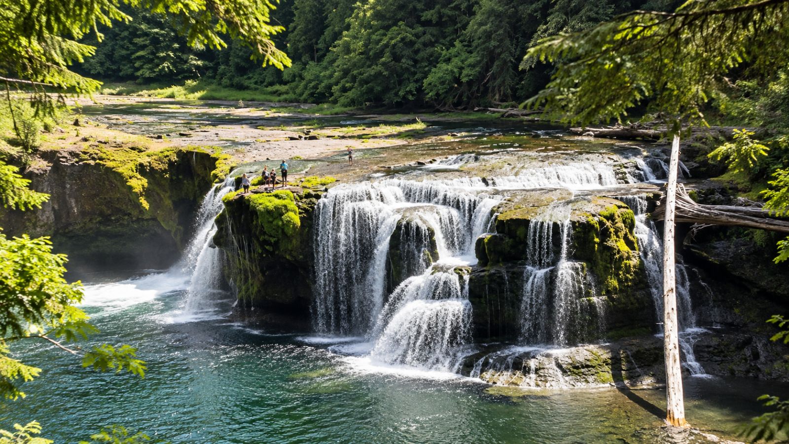
10. Lesser Wilderness State Forest — Lewis County
Deep Tug Hill without the High Peaks. DEC's current north and south georeferenced maps show public parking, roads and recreation routes throughout Lesser Wilderness State Forest near Whetstone Gulf and the eastern Tug Hill landscape.
The quick guide: quiet state forest and Tug Hill backcountry — woods, solitude and less-developed recreation, with difficulty and kid-friendliness depending on the route you choose. Download the DEC georeferenced map before going; multiple official parking points appear on DEC mapping. Our map pin marks the general area.
 Illustration
The point isn't to conquer a mountain.
Maybe that's why some of these trails get overlooked.
There isn't always a summit selfie waiting at the end. There isn't a 4,000-footer badge. Nobody is going to congratulate you for walking along the Black River after dinner. But that's also what makes these places special.
They're close. You can bring the kids. You can squeeze one into a Saturday morning. You can turn around whenever you've had enough. Or you can disappear into Tug Hill for half a day and wonder why you don't do this more often.
“Sometimes the best outdoor adventures aren't the ones everybody tells you to drive three hours to find. Sometimes they're much closer to home.”
Help us find the next trail
What's the North Country trail you think everybody overlooks? Tell us what we missed.
Share your trail photo
Hiked one of these — or one we missed? Send us your favorite shot and it may run with this guide.
Tell us what we missed
A farm stand we should visit, a little restaurant everyone needs to know, an overlook your family loves — send us your favorite photo and help this route grow. Maybe your road becomes our next road.
Editor’s note: Trail conditions, seasonal access, hunting activity, fees and closures change. Check the official link on each trail before you go, and remember fall leaves can hide roots and make wet rock especially slick.