 Illustration
Free Poster: Things to Do in Northern New York
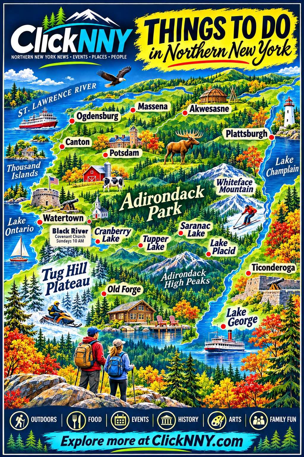
The whole North Country on one illustrated map, from the Thousand Islands to Lake George. Download it free, print it, hang it up, then go see the real thing.
Most maps of Northern New York are made for getting somewhere. This one is made for deciding where to go.
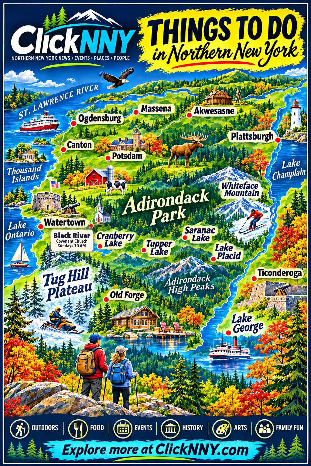
ClickNNY's new illustrated poster puts the whole North Country on a single page: the St. Lawrence River and the Thousand Islands across the top, Watertown and Lake Ontario on the west, the Tug Hill Plateau and Old Forge to the south, the Adirondack Park in the middle and Lake Champlain and Lake George down the east side. It's free to download, and it prints at home.
 Illustration
Start with winter
The poster leans toward fall color, but the season in front of us is winter. ClickNNY's Adirondacks guide maps every ski mountain, town hill and cross-country center in the region, compares them side by side and shows which ones are closest to Watertown, from Whiteface's 3,430-foot drop to small community hills with a rope tow.
Spring, summer and fall guides are coming next, and the poster will grow with them.
About the poster
- Is the poster really free?
- Yes. Download it and print it for your home, classroom, camp, library or community board. Please don't resell it or remove the ClickNNY name.
- How big can I print it?
- It prints sharpest at letter size (8.5 by 11 inches) or smaller. The PDF is set up to print on one page; choose Fit to page in your printer settings.
- Is the map accurate?
- It's an illustrated poster, not a road map. Towns are placed in roughly the right part of the region, but it isn't to scale. Use a real map or GPS for directions.
- Did we miss your town or favorite place?
- Tell us. The guide grows every season, and so will the poster. Use the Suggest a place button on the Adirondacks guide or the ClickNNY submit page.
More from ClickNNY


Tell us what we missed
Know something North Country readers should hear about this? Send the ClickNNY desk a local tip, a correction or a photo.
Editor’s note: Poster is ClickNNY-made illustrated artwork (disclosed as an illustration). Facts: Whiteface vertical from the guide data; Adirondack Park acreage per NYS DEC / Adirondack Park Agency. Files are served from public/adirondacks/poster on the site, so the images and downloads only work once that code is deployed.